


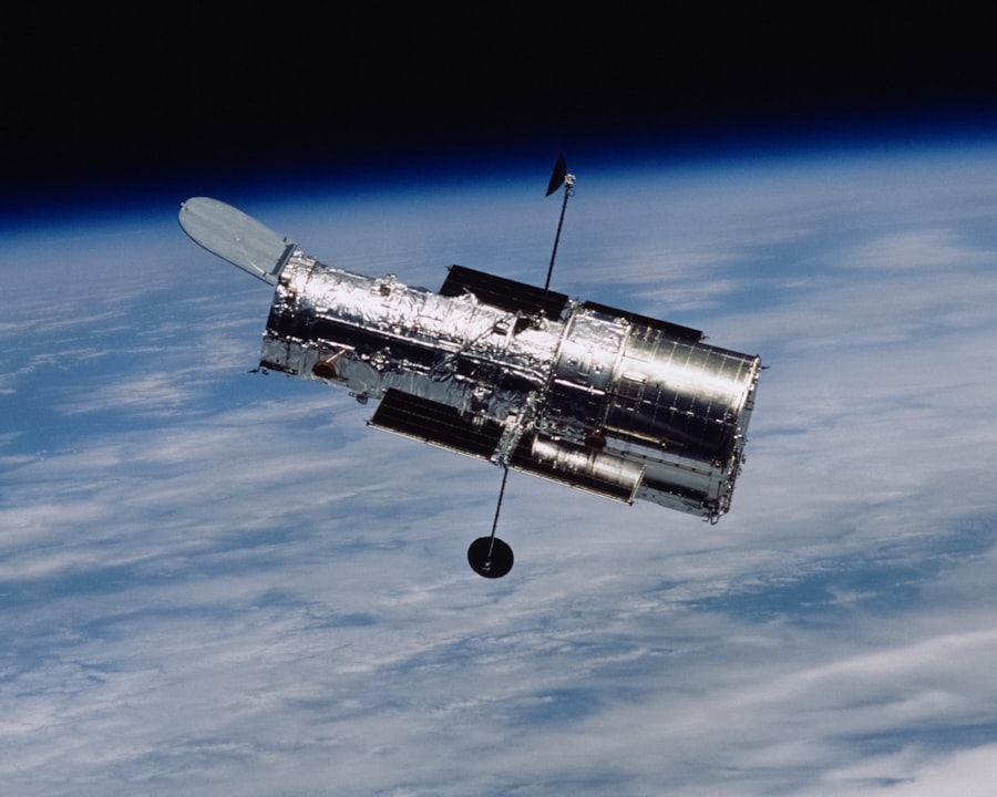
Satellite technology has revolutionized the way we interact with the world around us, serving as a cornerstone for modern communication, navigation, and environmental monitoring. The inception of satellite technology can be traced back to the launch of Sputnik 1 by the Soviet Union in 1957, marking the dawn of the space age. This small, spherical satellite orbited the Earth and transmitted radio signals, igniting a global interest in space exploration and satellite applications.
Over the decades, advancements in satellite technology have led to the development of various types of satellites, each designed for specific functions, including geostationary satellites, low Earth orbit satellites, and polar orbit satellites. The significance of satellites extends beyond mere technological marvels; they have become integral to our daily lives. From enabling global communications to providing critical data for scientific research, satellites play a vital role in various sectors.
The ability to transmit information across vast distances instantaneously has transformed industries and enhanced our understanding of the planet. As we delve deeper into the multifaceted applications of satellite technology, it becomes evident that these orbiting machines are not just tools of convenience but essential components of modern civilization.
Key Takeaways
- Satellite technology plays a crucial role in communication, environmental monitoring, agriculture, forestry, disaster management, navigation, and mapping.
- Satellites enable global communication by providing reliable and widespread coverage, making it possible to connect people and businesses across the world.
- Satellite technology is used for environmental monitoring to track changes in climate, weather patterns, natural disasters, and the health of ecosystems.
- In agriculture and forestry, satellites are used to monitor crop health, soil moisture, deforestation, and land use, helping to improve productivity and sustainability.
- Satellite technology is essential for disaster management, providing real-time data for early warning systems, emergency response, and recovery efforts.
The Role of Satellites in Communication
Satellites have fundamentally transformed communication by providing a reliable means of transmitting data across vast distances. The advent of communication satellites has enabled real-time broadcasting, telephone services, and internet connectivity in even the most remote areas of the globe. Geostationary satellites, positioned approximately 22,236 miles above the Earth, maintain a fixed position relative to the planet’s surface.
This allows them to provide continuous coverage to specific regions, making them ideal for television broadcasting and telecommunications. For instance, companies like Intelsat and SES operate fleets of communication satellites that facilitate global broadcasting services. These satellites enable television networks to transmit signals to millions of viewers simultaneously, regardless of geographical barriers.
Furthermore, satellite internet services such as those provided by Starlink and HughesNet have bridged the digital divide by offering high-speed internet access to rural and underserved communities. This connectivity is crucial for education, healthcare, and economic development, demonstrating how satellite technology can empower individuals and communities.
Satellite Technology in Environmental Monitoring
The application of satellite technology in environmental monitoring has become increasingly vital as concerns about climate change and natural resource management grow. Satellites equipped with remote sensing instruments can collect vast amounts of data about the Earth’s surface, atmosphere, and oceans. This data is invaluable for tracking environmental changes, assessing natural disasters, and managing resources sustainably. One prominent example is NASA’s Landsat program, which has been providing continuous Earth observation data since 1972. Landsat satellites capture high-resolution images that allow scientists to monitor deforestation, urbanization, and changes in land use over time.
These insights are crucial for policymakers and conservationists working to protect ecosystems and manage natural resources effectively. Additionally, satellites like the European Space Agency’s Copernicus Sentinel series provide real-time data on air quality, water quality, and greenhouse gas emissions, enabling governments and organizations to respond proactively to environmental challenges.
Satellite Technology in Agriculture and Forestry
| Application | Benefits |
|---|---|
| Soil Moisture Monitoring | Optimizes irrigation and water management |
| Crop Health Monitoring | Early detection of diseases and pests |
| Land Use Mapping | Optimizes land management and planning |
| Forest Fire Detection | Early warning and monitoring of forest fires |
In agriculture and forestry, satellite technology has emerged as a game-changer by enhancing productivity and sustainability. Precision agriculture relies on satellite imagery and data analytics to optimize crop management practices. Farmers can monitor soil health, assess crop health, and predict yields with unprecedented accuracy.
This data-driven approach allows for more efficient use of resources such as water and fertilizers, ultimately leading to increased agricultural output while minimizing environmental impact. For example, companies like Planet Labs operate fleets of small satellites that capture daily images of the Earth’s surface. These images can be analyzed to identify crop stress or disease outbreaks early on, allowing farmers to take corrective actions before significant losses occur.
In forestry management, satellites help monitor forest cover changes and detect illegal logging activities. The Global Forest Watch initiative utilizes satellite data to provide real-time information on deforestation rates worldwide, empowering stakeholders to take action against unsustainable practices.
Satellite Technology in Disaster Management
The role of satellite technology in disaster management cannot be overstated. Satellites provide critical data that aids in disaster preparedness, response, and recovery efforts. During natural disasters such as hurricanes, earthquakes, or floods, satellite imagery can offer real-time insights into affected areas, helping emergency responders assess damage and allocate resources effectively.
Organizations like NASA and the National Oceanic and Atmospheric Administration (NOAA) utilize satellites to monitor weather patterns and predict severe weather events. The data collected from these satellites enables timely warnings to be issued, potentially saving lives.
Furthermore, post-disaster assessments rely heavily on satellite imagery to evaluate damage and inform recovery strategies. The integration of satellite technology into disaster management frameworks enhances resilience and preparedness for future events.
Satellite Technology in Navigation and Mapping
Navigation systems have been transformed by satellite technology, with Global Navigation Satellite Systems (GNSS) becoming essential for various applications ranging from personal navigation to military operations.
GPS technology has permeated everyday life; it is used in smartphones for navigation apps like Google Maps and Waze, guiding users through unfamiliar territories with real-time traffic updates.
Beyond personal use, GPS is critical for logistics companies that rely on precise tracking of shipments and fleet management. In agriculture, GPS technology enables farmers to implement precision farming techniques by providing accurate field mapping and guidance for machinery. Moreover, advancements in satellite-based mapping technologies have led to the development of high-resolution topographic maps that are essential for urban planning and infrastructure development.
Companies like Google Earth utilize satellite imagery to create detailed maps that allow users to explore geographical features from a bird’s-eye view. This capability has transformed how we understand our environment and plan for future developments.
The Future of Satellite Technology
The future of satellite technology is poised for remarkable advancements driven by innovation and increasing demand for connectivity and data services. One significant trend is the proliferation of small satellites or CubeSats that are more cost-effective to launch and operate than traditional satellites. These smaller satellites can be deployed in large constellations to provide enhanced coverage and data collection capabilities.
Companies like SpaceX are leading the charge with their Starlink project, which aims to create a global broadband network using thousands of small satellites in low Earth orbit (LEO). This initiative has the potential to revolutionize internet access worldwide by providing high-speed connectivity even in remote areas where traditional infrastructure is lacking. Additionally, advancements in artificial intelligence (AI) and machine learning are set to enhance satellite data analysis capabilities significantly.
By automating data processing and interpretation, these technologies will enable faster decision-making across various sectors such as agriculture, environmental monitoring, and disaster response. As we look ahead, the integration of satellite technology with emerging technologies like AI will unlock new possibilities for innovation and problem-solving on a global scale.
Harnessing the Power of Satellite Technology
The multifaceted applications of satellite technology underscore its importance in contemporary society. From facilitating global communication to enhancing environmental monitoring and disaster management efforts, satellites have become indispensable tools that shape our understanding of the world. As we continue to harness the power of satellite technology, it is crucial to address challenges such as space debris management and equitable access to satellite services.
The ongoing evolution of satellite technology promises exciting developments that will further enhance our ability to connect with one another and understand our planet better. By investing in research and development while fostering international collaboration in space exploration, we can ensure that satellite technology continues to serve humanity’s needs effectively. As we navigate an increasingly complex world, leveraging the capabilities of satellites will be essential for addressing pressing global challenges and fostering sustainable development for future generations.
Satellites play a crucial role in modern technology, impacting various aspects of society, including education. For instance, the use of satellite technology in education can enhance learning experiences by providing access to remote areas and facilitating online education platforms. This is particularly relevant in regions like Assam, where higher education portals are becoming increasingly important. To understand more about the educational landscape in Assam and how technology is being integrated, you can read this related article: Navigating Admissions: A Guide to Assam’s Higher Education Portal. This article provides insights into the challenges and advancements in Assam’s educational system, highlighting the role of technology in shaping future opportunities.


+ There are no comments
Add yours